Framing Japan – Part 6: administrative stroll
For this sixth episode of my Framing Japan photo series, let’s take a walk through Minami-Azabu, a neighborhood in Tokyo’s Minato ward.
All these pictures were shot on January 8th, 2009. That particular day, I was heading to the French Embassy. Since it was quite a journey from where I was living at the time, I arrived in the Embassy neighborhood by late morning. After getting a bit lost between the subway station and the Embassy, I eventually showed up shortly after noon, only to find it closed for lunch.
With time to kill until 2pm, I took advantage of this free time to wander around and snap some photos.
Here are eight pictures from that stroll, all selected in landscape format to match the layout I chose for this article, plus a ninth one as a bonus, to end the journey. I also experimented a bit with post-production to give the photos a dreamy and grainy look.
As always, I had fun tracking down the exact locations on Google Street View, so each picture includes a link to the precise spot where it was shot.
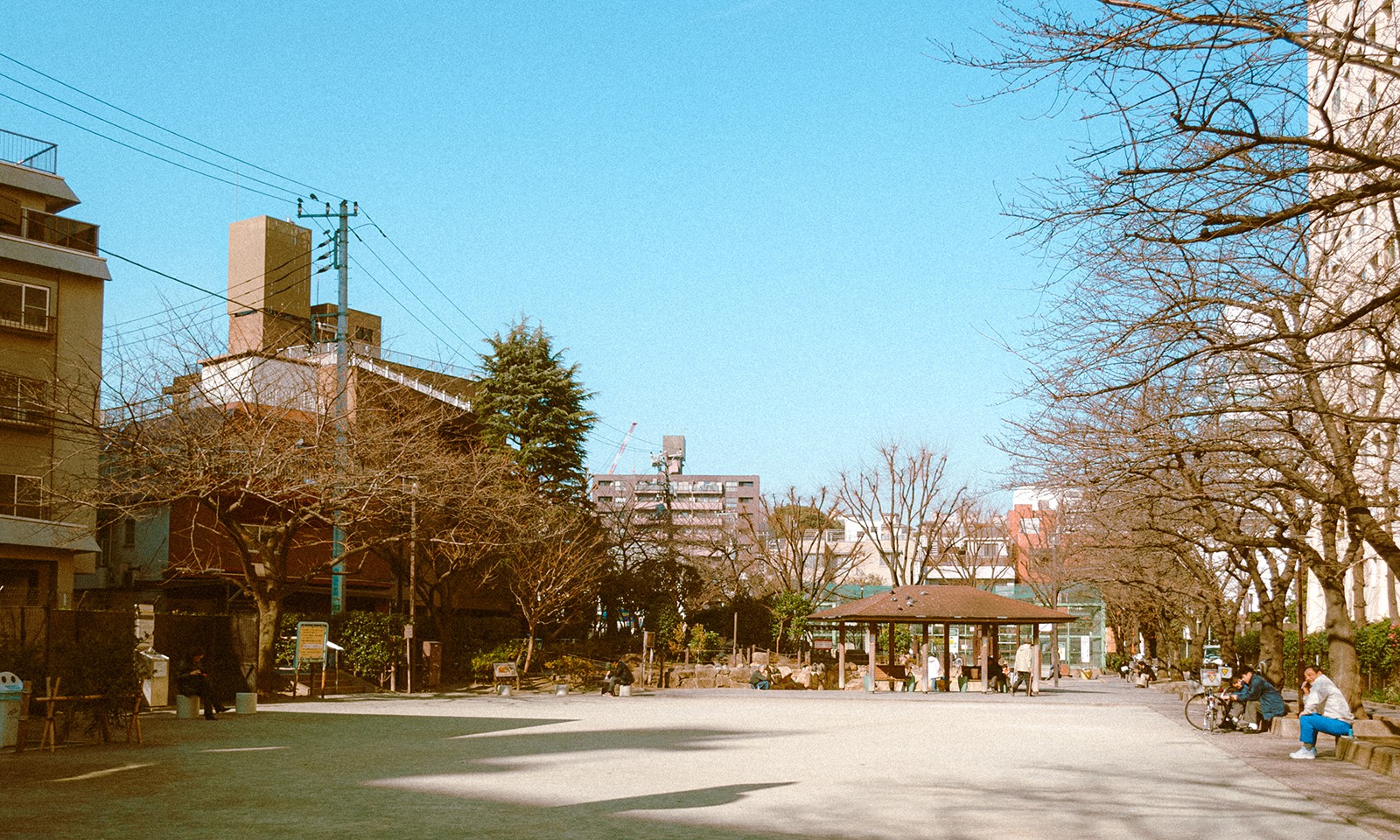
↑ Hiroo Park • 広尾公園
A quiet little park in the middle of the concrete jungle, where I sat on a bench for a short lunch break after buying a bento from a nearby konbini.
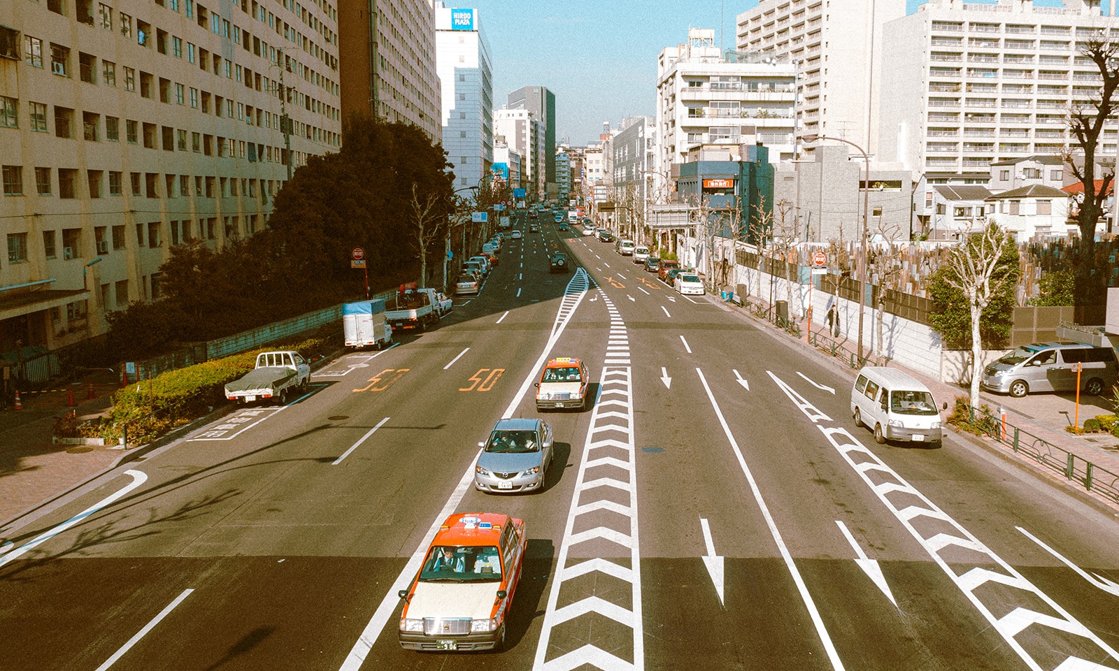
↑ Gaien-Nishi-dori from Tengenji Bridge • 外苑西通り(天現寺橋より)
Once my bento break was finished, and after gazing at my surroundings for a brief moment, I left the park and walked up Tengenji Bridge, located a few dozen meters away. While crossing it, I snapped this photo of Gaien-Nishi-dori.
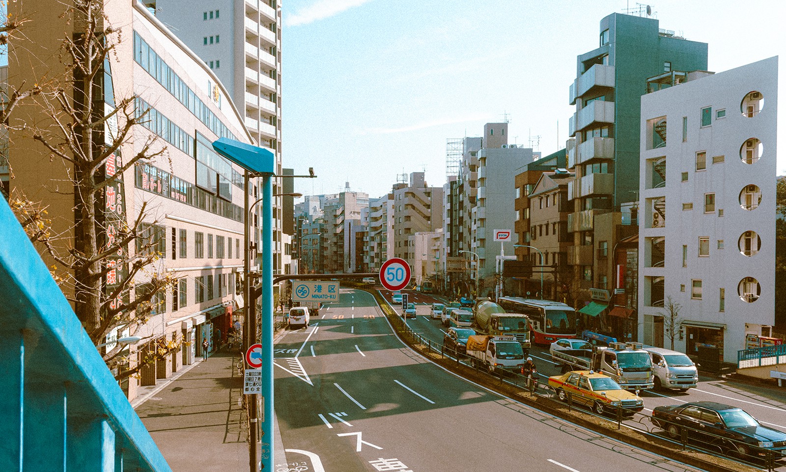
↑ Meiji-dori from Tengenji Bridge • 明治通り(天現寺橋より)
A few meters from the previous photo, and just before getting down from the bridge, I took this photo of Meiji-dori, the other street that marks the intersection over which the bridge is located.
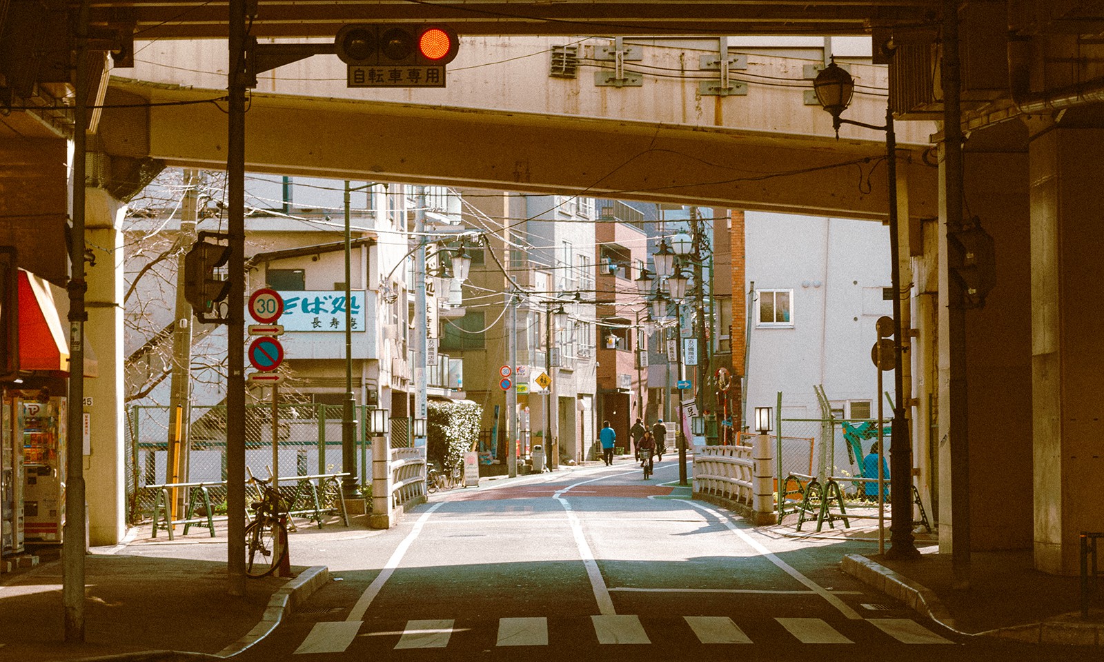
↑ Beneath Go-no-hashi • 五之橋(橋の下より)
After getting down from the bridge, I kept walking along Meiji-dori for a few hundred meters until I came across this junction under a bridge named Go-no-hashi (“the fifth bridge”), which carries the Meguro Route. The way the underside of the bridge framed that little street stretching into the distance caught my attention.
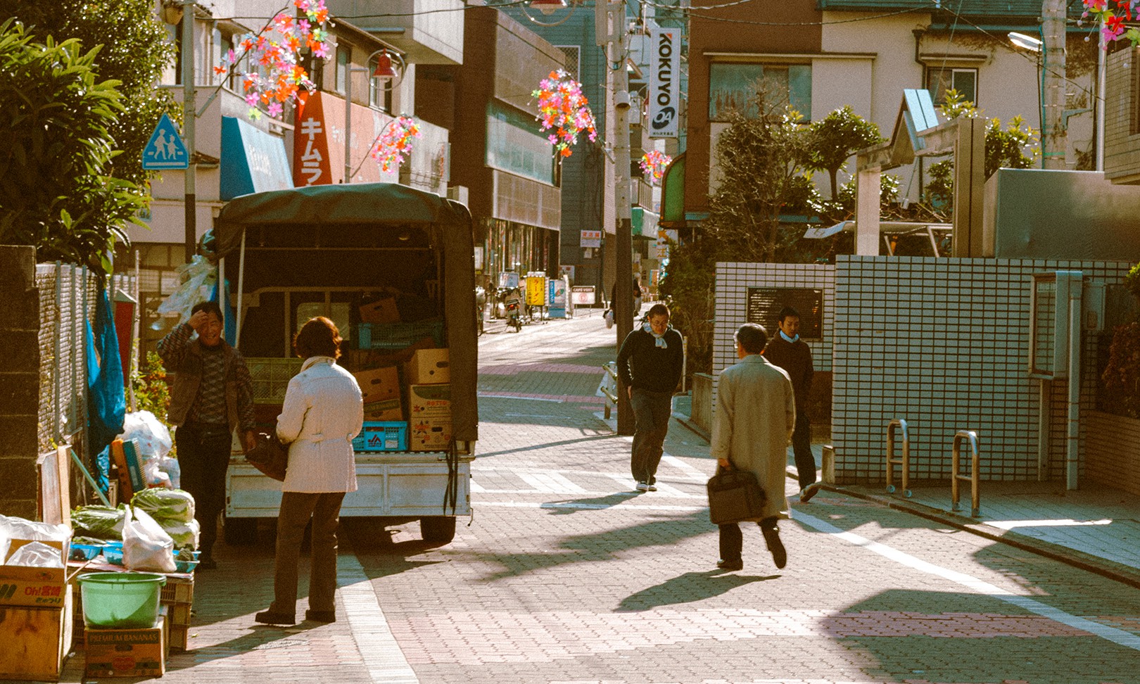
↑ Shirokane Shōtengai • 白金商店街
A shōtengai is a Japanese shopping street, usually narrow, closed to car traffic, and covered. The one in Shirokane, though, is open-air and has a warm, welcoming vibe. What caught my eye was the truck farmer standing next to his keitora.
The funny thing is, when I looked up the exact spot on Google Street View and went back in time to 2009 to match my photo’s perspective, I found the same truck still parked there!
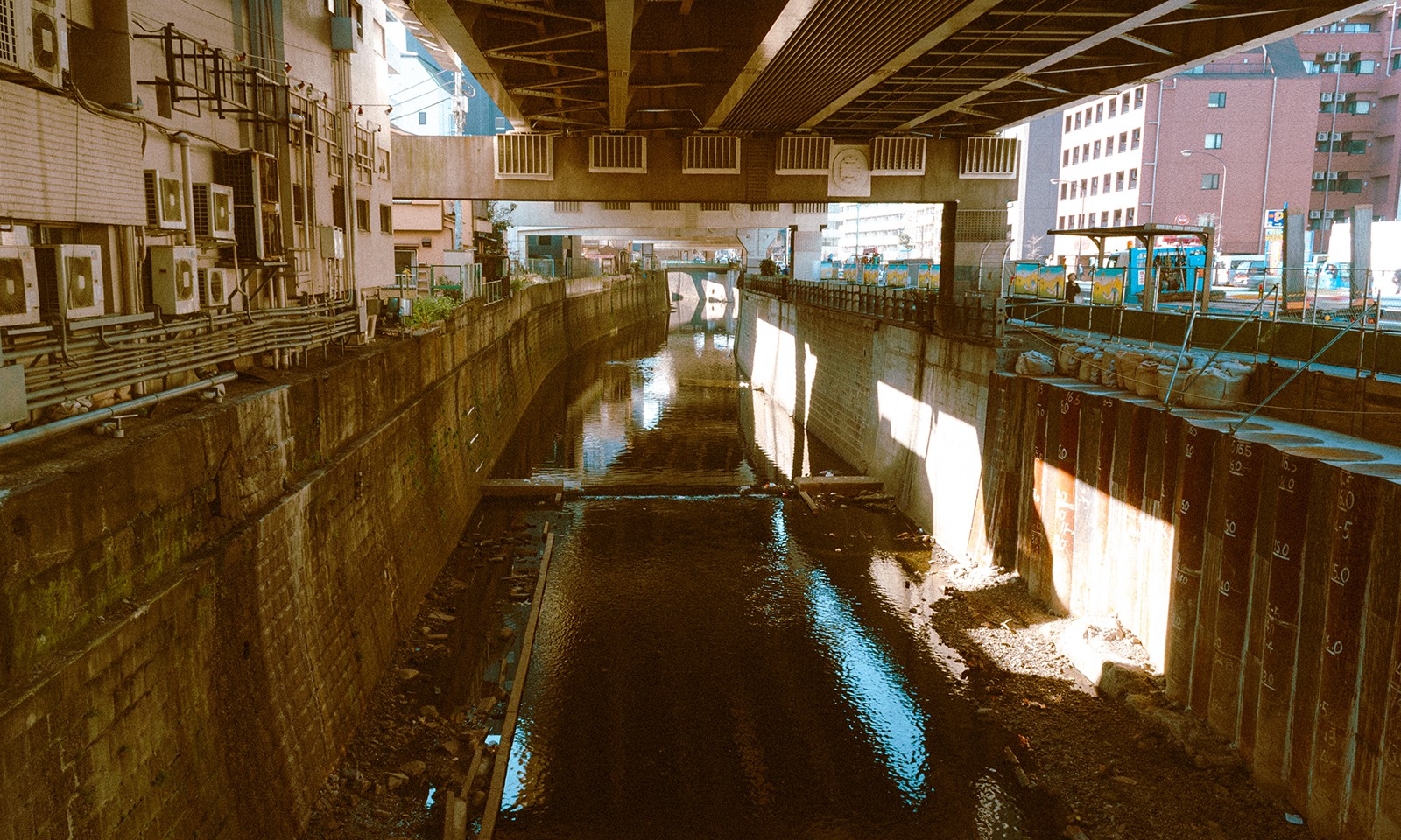
↑ Furukawa beneath Shi-no-hashi • 古川(四之橋の下より)
Walking along the Shirokane Shōtengai eventually led me under another bridge, Shi-no-hashi (“the fourth bridge”), under the same Meguro Route than I had passed earlier. Under this portion of the highway lies the Furu River, or Furukawa (kawa, or gawa, means “river” in Japanese). It’s not what you would call a beautiful spot, yet I found it had something compelling that made me reach for my camera.
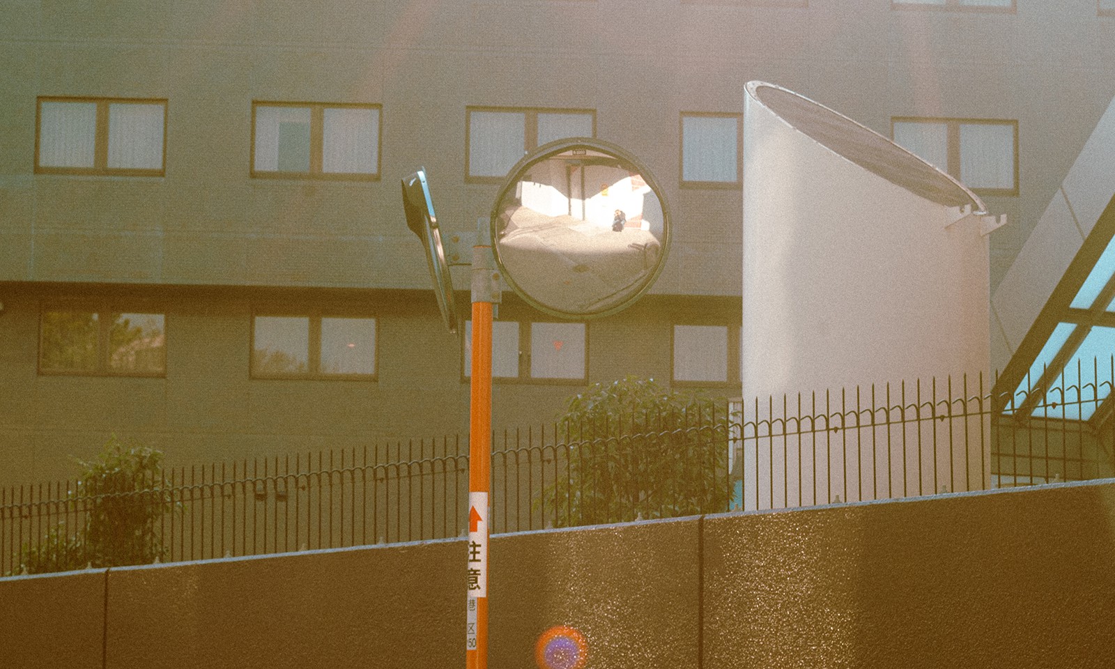
↑ Traffic mirror self-portrait
It was now time to head for the Embassy. I walked back along Meiji-dori for a few hundred meters before turning right towards my destination. As I arrived a few minutes before it would open, I waited on the adjacent street. I then noticed this orange pole with traffic mirrors at its top. They are very common in Japan. I crouched down against the wall facing one of the mirrors and snapped this photo where I’m slightly visible.
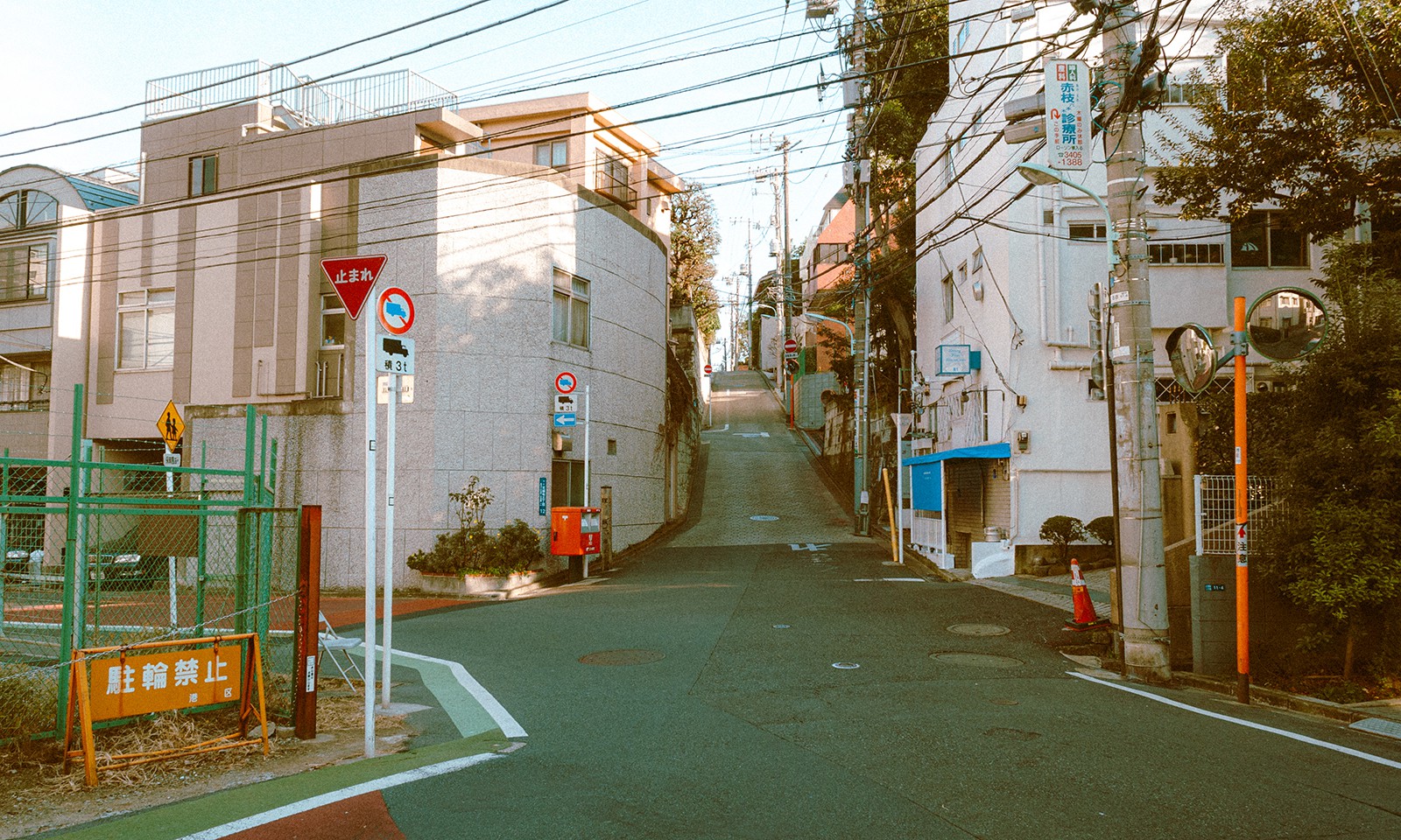
↑ Moments before the Tower
Once I had wrapped up my stuff at the Embassy, I continued my walk, wandering randomly through little street after little street. I don’t remember at all how I ended at this crossroad where I took this picture, but somehow I did.
From that crossroad, I took a narrow street behind me that started climbing uphill. Midway up, I looked at my surroundings and had the surprise to see the Tokyo Tower in the distance, which I hadn’t had the pleasure of seeing since my previous trip back in 2001.
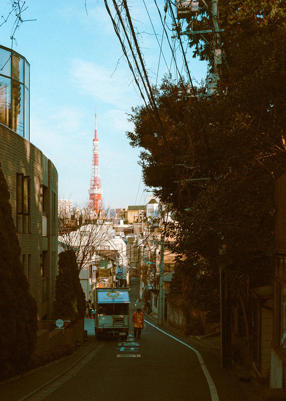
After taking that last photo, I wandered a bit more through the neighborhood, until I came across a subway station that marked the beginning of my journey back home.